Product 4: Land og strand
November 22, 2026 · 3 min read
← Back to the goal: 6 products in 2026
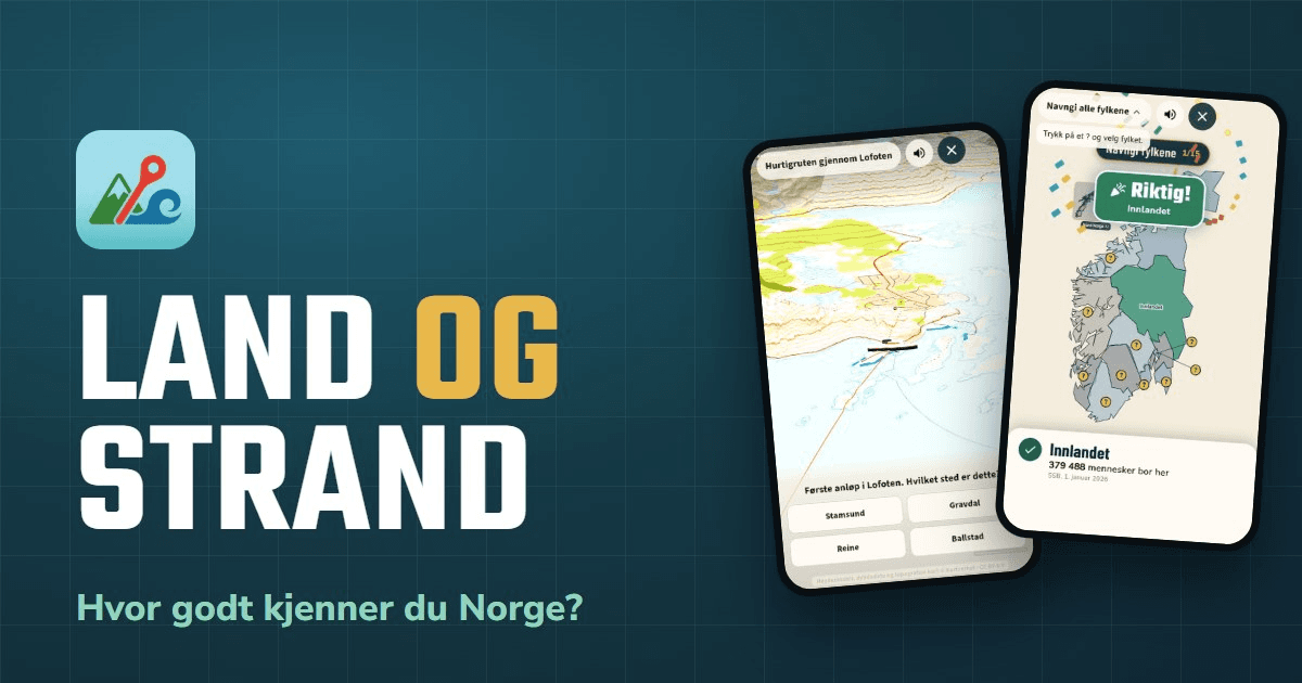
The fourth product in my goal of 6 products in 2026 is Land og strand ("Land and shore") — a geography game about Norway. Where is Røros? Which Lofoten port of call is this? How many municipalities in Rogaland can you name?
The app I have spent the most time on
This is without a doubt the product I have spent the most time on this year. The first line of code was written in early April, and since then it has grown into an app, an admin panel, a backend, a landing page and a separate web version of the daily challenge — five projects that fit together.
And it would never have been any good without a group of kind friends who tested, and tested, and tested again. They played the daily challenge every morning, got lost in menus, made the map freeze, and told me when an answer was wrong and when a question was unfair. A lot of what is in the app today — and quite a bit of what is no longer there — comes straight from their feedback. Thank you!
See it in action
The promo film: the Hurtigruten coastal ship sailing into Stamsund, the plane from Bodø, drills, the daily challenge and Arena.
What it looks like

Features
- Dagens fem (Today's five) — five new questions every day, and the goal is to miss by as few kilometres as possible. Challenge friends with a link or QR code and see who knows Norway best
- Arena — live matches for 2–6 players around the same table or across the country
- Treasure hunts with map films — the coastal ship, trains, planes and cars through the landscape, and the film stops to ask where you are
- Drills for counties, municipalities, routes and railway lines — tap a "?" and pick the right name
- Themes with learning material: the coastal voyage from Bergen to Kirkenes, the airports, the railways and the European routes, with maps and history
- The Norway tab with every county, municipal coats of arms, towns and administrative centres
How I built it
The app is built with Flutter and uses Supabase for sign-in, leaderboards and real-time play in Arena. The maps come from the Norwegian Mapping Authority's open data, and the population figures from Statistics Norway.
The hardest — and most fun — part has been the map films. They are made in a film studio inside the admin panel: the terrain comes from the national elevation model, the shipping lane is found automatically, and every frame is a pure function of time, so the film can be rendered in advance and comes out identical every time. The app therefore knows exactly when the film passes a place, and can pause and ask the question right there.
All the sound in the app is synthesised in code — there is not a single audio file. The coastal ship rumbles, the train whistles, and the "booo" when you miss is made with a few lines of Dart.
The daily challenge is also available on the web at app.land-og-strand.app, so you can challenge friends who don't have the app yet. More about the game at land-og-strand.app.
Download
 |  |
